
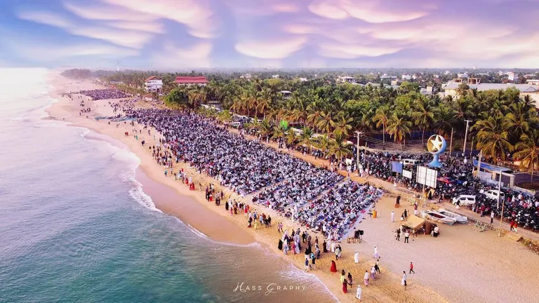
Geography
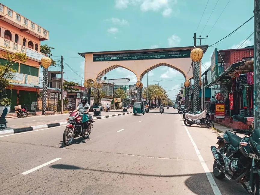
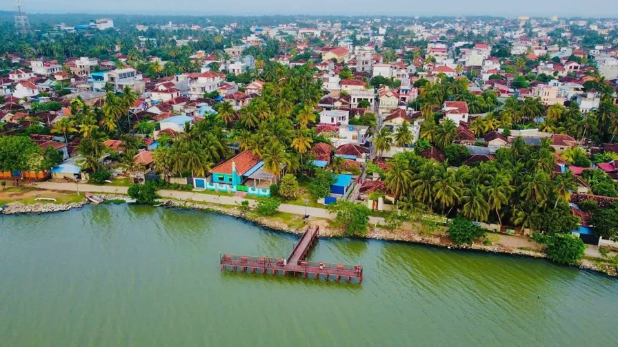
Coastal strip layout featuring unique architectural styles.
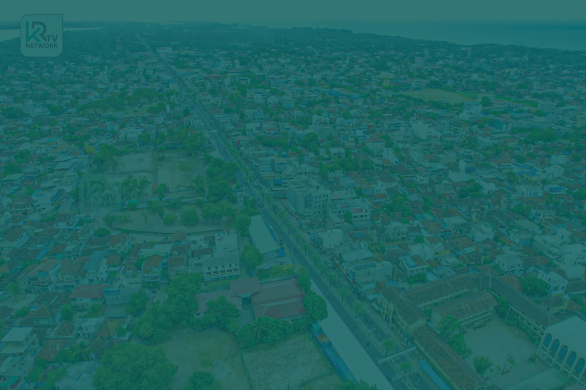
A small, vibrant town on Sri Lanka's east coast — one of the country's most densely populated urban centres, working towards a clean, green, smart future.
Kattankudy is a small but vibrant town in Sri Lanka’s Eastern Province, covering approximately 2.56 km² of land and 1.33 km² of inland waterways. It is bordered by the Bay of Bengal to the east, the Manmunai North Divisional Secretariat to the north, the Manmunaipattu Divisional Secretariat to the south, and the Batticaloa Lagoon to the west.
The town is one of the most densely populated urban centres in Sri Lanka — a vibrant mix of commercial interests and deep-rooted cultural values, with strong social cohesion driven by a shared heritage. A 2014 census counted 47,603 residents, and the Council’s recent estimates put the community at around 50,358 people in 15,273 families — a population density among the highest in the region.
Kattankudy’s story begins with the Arab traders who settled this coast as early as the 8th century — a heritage recorded in the Mattakallappu Manmiyam and other local chronicles, and in a stone inscription found in the town. From a Town Council in 1947 to an Urban Council since 11 June 1999, the community has grown into the busy coastal town seen today.
From the Grand Mosque and the Heritage Museum to the bustling bazaar, Kattankudy pairs its historical landmarks with a lively commercial life — and welcomes a growing number of local and foreign visitors each day.
Green City. Clean City. Smart City. Zero Solid Waste. Zero Carbon. — the vision Kattankudy has set for itself in Sri Lanka.
Timeline
Kattankudy's origins reach back to Arab traders who settled on this coast — a history recorded in local chronicles such as the Mattakallappu Manmiyam and in a stone inscription found in the town.
Kattankudy's Town Council was established in 1947, initially operating from premises near the main street — the start of the town's modern local government.
After the town council system was abolished, the area was administered as a District Development Council.
From 1 January 1988 the area functioned as a Pradeshiya Sabha, until its elevation a decade later.
Kattankudy was elevated to an Urban Council on 11 June 1999 — the status it holds today.
Landscape & attractions
Coastal strip layout featuring unique architectural styles.
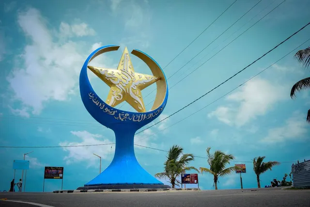
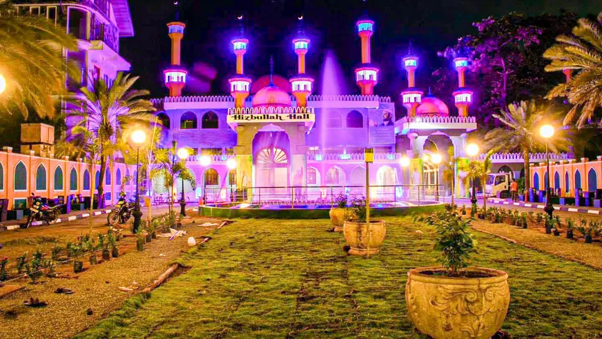
Architecture and landscaping that provide a distinct "Arabian" aesthetic in Sri Lanka.
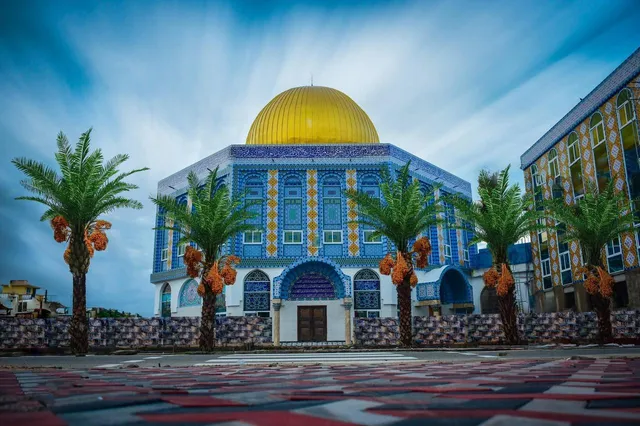
The Grand Mosque, the Heritage Museum, and the bustling bazaar.
Visitors & economy
Significant increase in daily visitors from outstation districts and international tourists.
The city as a commercial hub for the Eastern Province.
Transitioning into a modern urban centre that prioritises technology and cleanliness.
Gallery
Continue exploring
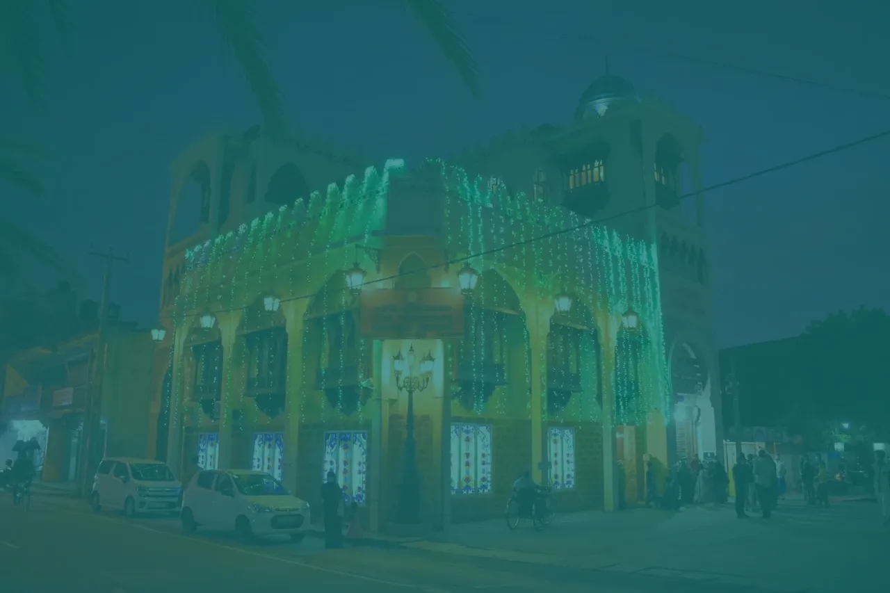
A four-storey cultural centre preserving and displaying the history, traditions and heritage of the Kattankudy community — from traditional tools to cultural treasures.
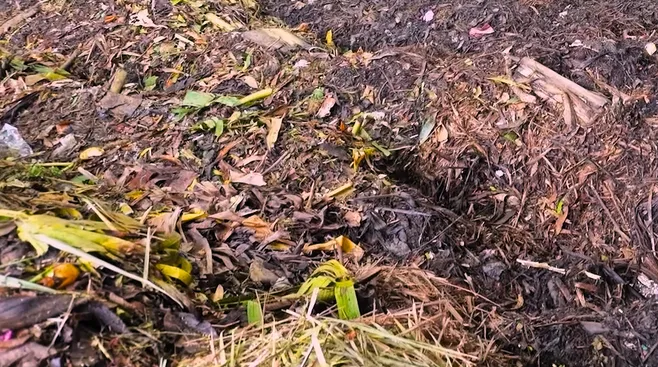
From riverside dumping to the island's first Clean Sri Lanka recycling centre — the two-decade journey of Kattankudy's waste management system, its facilities, its circular products, and the zero-waste goal ahead.
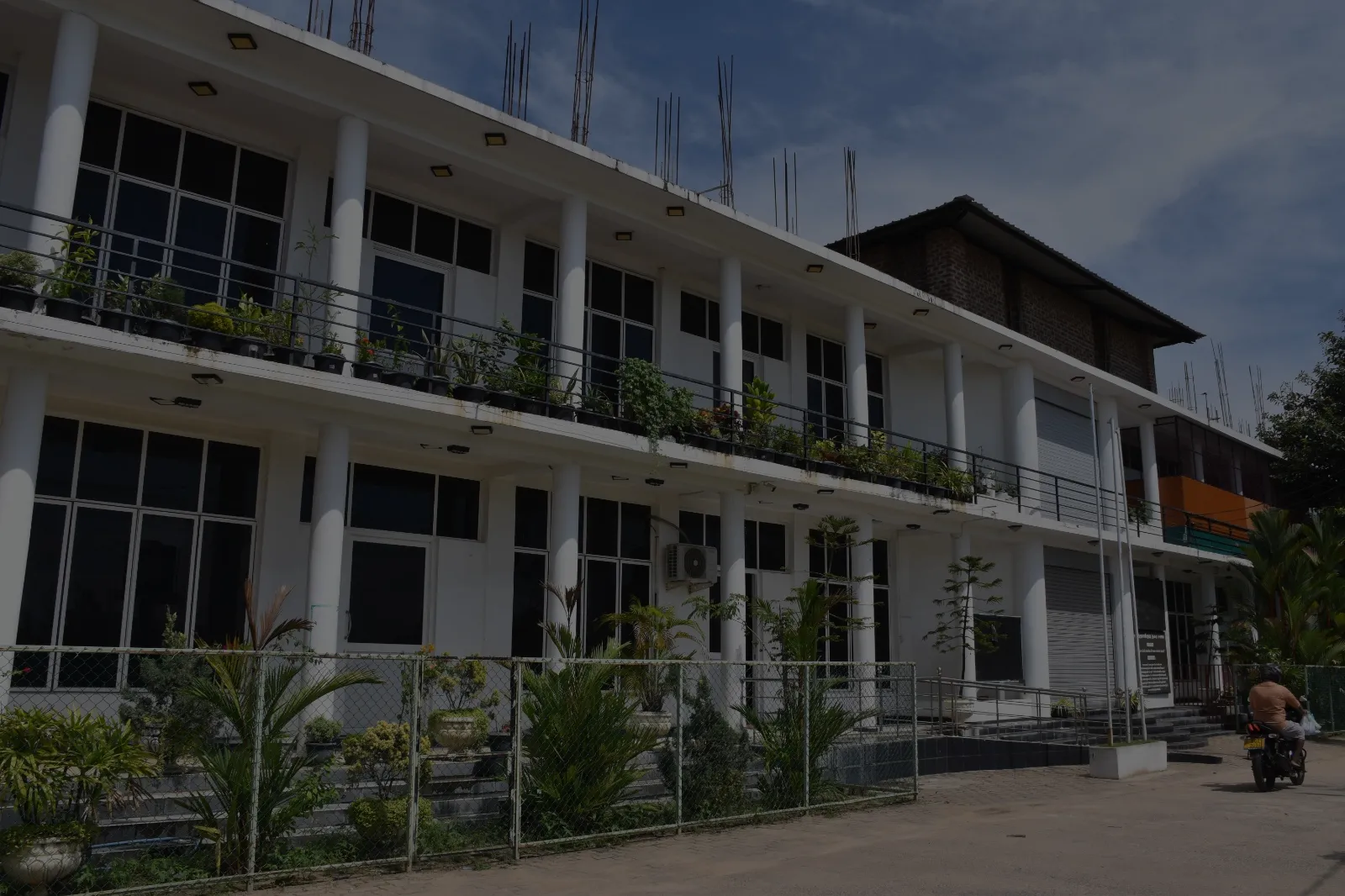
One of Sri Lanka's modern local government councils — from a Town Council of 1947 to an Urban Council since 1999, delivering public services through six main branches and a growing family of dedicated divisions.